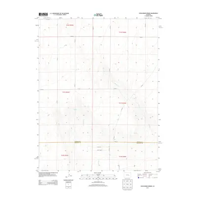
2013 Map of Cockleburr Springs
USGS Topo · Published 2013About this map
Cockleburr Springs serves as a vital water point in this high plains landscape on the border of Lincoln and Crowley counties. The area is defined by a sparse grid of agricultural routes and natural drainage patterns, with the intermittent flows of Cramer Cr and Breckenridge Cr carving subtle paths through the terrain. The map captures a moment of transition where large-scale township and range divisions meet modern infrastructure, including CO Highway H in the northwest. This 2013 survey provides a clear look at the rural road network, featuring routes like CO Road G and CO Road D that connect isolated sections of the Colorado plains.
Find a feature on this map
24 named features on this map. Tap any name to fly to it.
Don’t see what you’re looking for? This feature index may not catch every label — zoom into the map to look around manually.
Map Details
Editions of this 2013 Cockleburr Springs Map
This is the sole edition of this map. No revisions or reprints were ever made.
Other maps of this area

1889 · Sanborn
USGS Topo · 1:125,000

1891 · Sanborn
USGS Topo · 1:125,000

1891 · Catlin
USGS Topo · 1:125,000

1891 · Nepesta
USGS Topo · 1:125,000

1893 · Nepesta
USGS Topo · 1:125,000

1893 · Sanborn
USGS Topo · 1:125,000

1893 · Big Springs
USGS Topo · 1:125,000

1893 · Catlin
USGS Topo · 1:125,000

1904 · Nepesta
USGS Topo · 1:125,000

1954 · Lamar
USGS Topo · 1:250,000