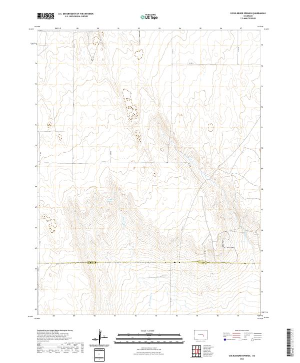
2022 Map of Cockleburr Springs
USGS Topo · Published 2022About this map
Cockleburr Springs lies at the heart of this high-plains landscape, where the seasonal waters of Breckenridge Cr and Cramer Cr cut through the arid terrain of southeastern Colorado. This 2022 survey captures the transition between Lincoln and Crowley counties, showing a landscape dominated by a vast grid of section lines and range townships. The network of county roads, including Co Rd D and Co Rd 5, follows the traditional Public Land Survey System, providing access to the remote ranching country near the headwaters of these intermittent streams.
Find a feature on this map
22 named features on this map. Tap any name to fly to it.
Don’t see what you’re looking for? This feature index may not catch every label — zoom into the map to look around manually.
Map Details
Editions of this 2022 Cockleburr Springs Map
This is the sole edition of this map. No revisions or reprints were ever made.
Other maps of this area

1889 · Sanborn
USGS Topo · 1:125,000

1891 · Sanborn
USGS Topo · 1:125,000

1891 · Catlin
USGS Topo · 1:125,000

1891 · Nepesta
USGS Topo · 1:125,000

1893 · Nepesta
USGS Topo · 1:125,000

1893 · Sanborn
USGS Topo · 1:125,000

1893 · Big Springs
USGS Topo · 1:125,000

1893 · Catlin
USGS Topo · 1:125,000

1904 · Nepesta
USGS Topo · 1:125,000

1954 · Lamar
USGS Topo · 1:250,000