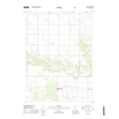
2017 Map of Cody SE
USGS Topo · Published 2017About this map
The Niobrara River carves a distinct path through this section of Cherry County, creating a sharp contrast between the riparian corridor and the surrounding sandhills. In the southern portion of the map, the Samuel R McKelvie National Forest encompasses a landscape of rolling terrain and prairie, south of where State Hwy Spur 16F cuts through the hills. This 2017 survey documents the area's limited infrastructure, notably the Riemenschneider Bridge crossing the river, and the isolated Buckhorn Spring. To the north, the terrain is marked by McCann Canyon, illustrating the drainage patterns that feed into the Niobrara basin. The map provides a detailed view of the Public Land Survey System grid across multiple townships, serving as a primary reference for property boundaries and land management in this cattle-ranching region.
Find a feature on this map
12 named features on this map. Tap any name to fly to it.
Don’t see what you’re looking for? This feature index may not catch every label — zoom into the map to look around manually.
Map Details
Editions of this 2017 Cody SE Map
This is the sole edition of this map. No revisions or reprints were ever made.
Other maps of this area

1950 · Powderhorn Valley
USGS Topo · 1:62,500

1950 · Kennedy
USGS Topo · 1:62,500

1950 · Kilgore
USGS Topo · 1:62,500

1950 · Cody
USGS Topo · 1:62,500

1957 · Valentine
USGS Topo · 1:250,000

1959 · Valentine
USGS Topo · 1:250,000

1985 · Cooper Canyon
USGS Topo · 1:24,000
1985 · Cody East
USGS Topo · 1:24,000
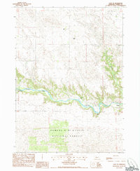
1985 · Cody SE
USGS Topo · 1:24,000

1985 · Cody
USGS Topo · 1:100,000