1990 Map of Coffeyville
USGS Topo · Published 1990About this map
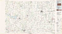
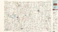
The Verdigris River and Neosho River valleys define this Southeast Kansas landscape, which by 1990 supported a mix of industrial centers, agricultural townships, and extensive wildlife management areas. The Army Ammunition Plant stands as a massive facility between Parsons and Cherryvale, reflecting the region's historical role in national defense manufacturing. To the west, the reservoir at Elk City Lake provides a central landmark, flanked by the Elk City State Park and Elk City State Wildlife Area.
Find a feature on this map
125 named features on this map. Tap any name to fly to it.
Don’t see what you’re looking for? This feature index may not catch every label — zoom into the map to look around manually.
Map Details
Editions of this 1990 Coffeyville Map
This is the sole edition of this map. No revisions or reprints were ever made.