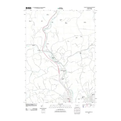
2010 Map of Cogan Station
USGS Topo · Published 2010About this map
Lycoming Creek carves a deep valley through the northern reaches of Williamsport, Pennsylvania, serving as the central artery for a series of small riverside communities and historic neighborhoods. In this 2010 survey, the transition from suburban outskirts like Garden View and Vallamont Hills to the more rural north is clearly visible. Historic hamlets such as Hepburnville and Balls Mills are situated along tributary routes like Mill Creek, where the landscape begins its steep ascent into the surrounding peaks.
Find a feature on this map
93 named features on this map. Tap any name to fly to it.
Don’t see what you’re looking for? This feature index may not catch every label — zoom into the map to look around manually.
Map Details
Editions of this 2010 Cogan Station Map
This is the sole edition of this map. No revisions or reprints were ever made.
Other maps of this area

1921 · Williamsport
USGS Topo · 1:48,000

1921 · Trout Run
USGS Topo · 1:62,500

1923 · Trout Run
USGS Topo · 1:62,500

1923 · Williamsport
USGS Topo · 1:62,500

1924 · Milton
USGS Topo · 1:62,500

1930 · Warrensville
USGS Topo · 1:62,500

1934 · Warrensville
USGS Topo · 1:62,500

1944 · Trout Run
USGS Topo · 1:62,500

1944 · Williamsport
USGS Topo · 1:62,500

1953 · Warrensville
USGS Topo · 1:62,500
Featured Places
- Williamsport, PA
- Garden View, Old Lycoming Township
- Woodward Township, PA
- Lewis Township, PA
- Cogan House Township, PA