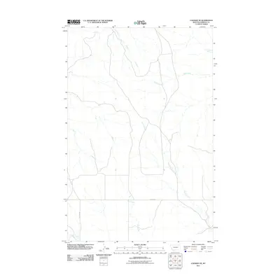
2011 Map of Cohagen NE
USGS Topo · Published 2011About this map
L S Creek and Taylor Creek define the drainage patterns of this Garfield County landscape, where the seasonal watercourses shape the movement of people and livestock. The area is characterized by its wide-reaching drainage networks, including Skunk Arroyo and Langs Fork, which are critical features in this arid region of Montana. Local transportation is largely defined by rural routes such as Hay Creek Rd and the descriptively named 2 Furrow Rd, reflecting the sparse infrastructure common in the eastern plains. Grounded in a 2011 U.S. Geological Survey study, the map depicts a quiet ranching or agricultural environment where Duck Creek and Hay Creek provide the primary geographic orientation for those navigating the backcountry. The alignment of roads and trails suggests a terrain where topography and water access dictate the layout of the few human improvements.
Find a feature on this map
8 named features on this map. Tap any name to fly to it.
Don’t see what you’re looking for? This feature index may not catch every label — zoom into the map to look around manually.
Map Details
Editions of this 2011 Cohagen NE Map
This is the sole edition of this map. No revisions or reprints were ever made.
Other maps of this area

1954 · Jordan
USGS Topo · 1:250,000

1956 · Jordan
USGS Topo · 1:250,000

1958 · Jordan
USGS Topo · 1:250,000

1964 · Jordan
USGS Topo · 1:250,000

1964 · Ada Creek
USGS Topo · 1:24,000

1964 · Black John Coulee
USGS Topo · 1:24,000

1965 · Cohagen
USGS Topo · 1:24,000

1965 · Calamity Coulee
USGS Topo · 1:24,000
1965 · York Reservoir
USGS Topo · 1:24,000

1965 · Hafla School
USGS Topo · 1:24,000