
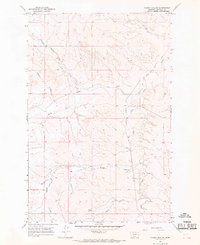
1965 Map of Hafla School
USGS Topo · Published 1968About this map
Garfield County ranching lands and isolated rural outposts define this 1960s landscape, where connectivity is measured by simple paths like Two Furrow Road. The map centers on the small settlement of Hafla, marked by the Hafla Sch, serving as a social and educational hub for the surrounding grazing territories. Further south, the Pluhar Sch and a designated Landing Strip illustrate the necessity of air travel and localized schooling in this expansive prairie region. The drainage patterns of Taylor Creek, Hawks Nest Creek, and Skunk Arroyo dictate the terrain's utility, with a solitary Well noted as a critical water source. This survey reveals a late-mid-century snapshot of Montana’s high plains, where the infrastructure was minimal and life revolved around few established landmarks and family-named schools.
Find a feature on this map
12 named features on this map. Tap any name to fly to it.
Don’t see what you’re looking for? This feature index may not catch every label — zoom into the map to look around manually.
Map Details
Editions of this 1965 Hafla School Map
This is the sole edition of this map. No revisions or reprints were ever made.
Other maps of this area

1954 · Jordan
USGS Topo · 1:250,000

1956 · Jordan
USGS Topo · 1:250,000

1958 · Jordan
USGS Topo · 1:250,000

1964 · Jordan
USGS Topo · 1:250,000

1964 · Ada Creek
USGS Topo · 1:24,000

1965 · Cohagen
USGS Topo · 1:24,000

1965 · Whiteside Ranch
USGS Topo · 1:24,000

1965 · Calamity Coulee
USGS Topo · 1:24,000
1965 · Sleepy Hollow
USGS Topo · 1:24,000
1965 · Cohagen NE
USGS Topo · 1:24,000