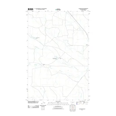
2011 Map of Cohagen SW
USGS Topo · Published 2011About this map
Red Horse Creek and several forks of Phillips Creek weave through this section of Garfield County, defining a landscape shaped by water management and ranching. The presence of the Mincoff Ranch at the center of the sheet, supported by the Mincoff Reservoir Number 1 Dam and Mincoff Number 2 Dam, illustrates the critical role of localized irrigation and stock water in this part of Montana. These man-made features, alongside the Magnesia Dam, show how early 21st-century land use continues to rely on the seasonal flows of North Phillips Creek and its tributaries. For those tracing local history or genealogy, the Cohagen Cemetery serves as a significant landmark on the eastern edge of the quadrangle, while Little Porcupine Rd provides a primary transit link across the prairie terrain.
Find a feature on this map
11 named features on this map. Tap any name to fly to it.
Don’t see what you’re looking for? This feature index may not catch every label — zoom into the map to look around manually.
Map Details
Editions of this 2011 Cohagen SW Map
This is the sole edition of this map. No revisions or reprints were ever made.
Other maps of this area

1954 · Jordan
USGS Topo · 1:250,000

1954 · Forsyth
USGS Topo · 1:250,000

1956 · Jordan
USGS Topo · 1:250,000

1957 · Forsyth
USGS Topo · 1:250,000

1958 · Jordan
USGS Topo · 1:250,000

1958 · Forsyth
USGS Topo · 1:250,000

1964 · Jordan
USGS Topo · 1:250,000

1965 · Black Hills
USGS Topo · 1:24,000

1965 · Cohagen
USGS Topo · 1:24,000

1965 · Kirby Ranch
USGS Topo · 1:24,000