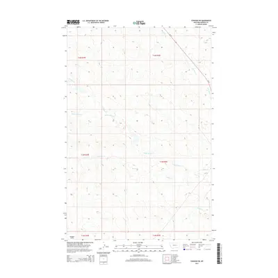
2014 Map of Cohagen SW
USGS Topo · Published 2014About this map
Middle Phillips Creek and its various tributaries define this section of the eastern Montana rangelands, where the hydrology of the Missouri River watershed begins to take shape. The terrain is a network of coulees and ephemeral drainage systems, including North Phillips Creek and the headwaters of Little Dry Creek. These watercourses carve through the landscape of the Northern Great Plains, revealing a topographical complexity that is often masked by the wide-open horizons.
Find a feature on this map
13 named features on this map. Tap any name to fly to it.
Don’t see what you’re looking for? This feature index may not catch every label — zoom into the map to look around manually.
Map Details
Editions of this 2014 Cohagen SW Map
This is the sole edition of this map. No revisions or reprints were ever made.
Other maps of this area

1954 · Jordan
USGS Topo · 1:250,000

1954 · Forsyth
USGS Topo · 1:250,000

1956 · Jordan
USGS Topo · 1:250,000

1957 · Forsyth
USGS Topo · 1:250,000

1958 · Jordan
USGS Topo · 1:250,000

1958 · Forsyth
USGS Topo · 1:250,000

1964 · Jordan
USGS Topo · 1:250,000

1965 · Black Hills
USGS Topo · 1:24,000

1965 · Cohagen
USGS Topo · 1:24,000

1965 · Kirby Ranch
USGS Topo · 1:24,000