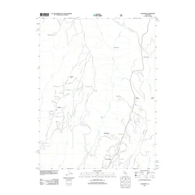
2012 Map of Cohasset
USGS Topo · Published 2012About this map
Cohasset Ridge serves as the spine of this landscape, separating the intricate drainage networks of Mud Cr and its various branches from the deep canyon of Big Chico Cr. The settlement of Cohasset is positioned along Cohasset Rd on the western heights, while further south and east, the community of Forest Ranch sits near the headwaters of Little Chico Cr. This era of documentation shows a transition from historical agricultural footprints like Spencer Ranch to more modern residential road layouts, such as those found near Dodge Place.
Find a feature on this map
73 named features on this map. Tap any name to fly to it.
Don’t see what you’re looking for? This feature index may not catch every label — zoom into the map to look around manually.
Map Details
Editions of this 2012 Cohasset Map
This is the sole edition of this map. No revisions or reprints were ever made.
Other maps of this area

1886 · Lassen Peak
USGS Topo · 1:250,000

1891 · Chico
USGS Topo · 1:125,000

1892 · Lassen Peak
USGS Topo · 1:250,000

1893 · Chico
USGS Topo · 1:125,000

1894 · Lassen Peak
USGS Topo · 1:250,000

1895 · Chico
USGS Topo · 1:125,000

1912 · Keefers
USGS Topo · 1:31,680

1935 · Paynes Creek
USGS Topo · 1:96,000

1941 · Mineral
USGS Topo · 1:125,000

1944 · Richardson Springs
USGS Topo · 1:62,500