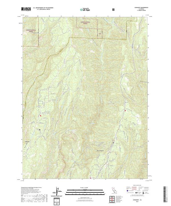
2021 Map of Cohasset
USGS Topo · Published 2021About this map
Cohasset and Forest Ranch sit atop the prominent volcanic ridges of the northern Sacramento Valley, overlooking a landscape carved by the Big Chico Cr and its numerous tributaries. This survey illustrates the intricate network of ridge-running roads like Ponderosa Way and Cohasset Rd, which navigate the steep topography of Cohasset Ridge and Keefer Ridge. The area is characterized by deep ravines such as Nelson Ravine and Platte Ravine, which drain toward the valley floor. To the north, the boundary of Lassen National Forest marks a transition into more heavily timbered terrain near Promontory Point. Genealogists will find the locations of Cohasset Cem and Forest Ranch Cem invaluable for tracing local families, while the presence of landmarks like Bear Lake and Durbin Spring highlights the importance of water sources in this elevated, drainage-defined environment.
Find a feature on this map
85 named features on this map. Tap any name to fly to it.
Don’t see what you’re looking for? This feature index may not catch every label — zoom into the map to look around manually.
Map Details
Editions of this 2021 Cohasset Map
This is the sole edition of this map. No revisions or reprints were ever made.
Other maps of this area

1886 · Lassen Peak
USGS Topo · 1:250,000

1891 · Chico
USGS Topo · 1:125,000

1892 · Lassen Peak
USGS Topo · 1:250,000

1893 · Chico
USGS Topo · 1:125,000

1894 · Lassen Peak
USGS Topo · 1:250,000

1895 · Chico
USGS Topo · 1:125,000

1912 · Keefers
USGS Topo · 1:31,680

1935 · Paynes Creek
USGS Topo · 1:96,000

1941 · Mineral
USGS Topo · 1:125,000

1944 · Richardson Springs
USGS Topo · 1:62,500