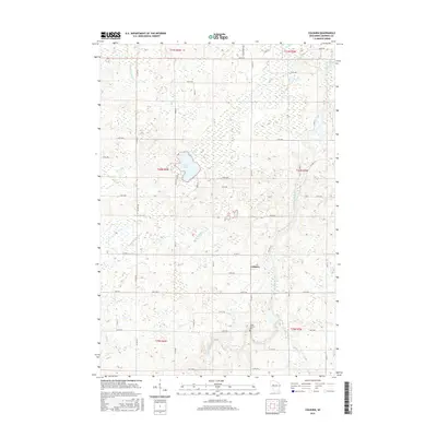
2015 Map of Colburn
USGS Topo · Published 2015About this map
Colburn serves as the focal point of this northern Wisconsin landscape, situated within a dense network of watercourses and township lines. The topography is defined by the winding path of the Yellow River and its numerous tributaries, including Big Drywood Cr and Little Drywood Cr. These streams indicate a drainage pattern that has historically shaped the agricultural and timber potential of the region.
Find a feature on this map
49 named features on this map. Tap any name to fly to it.
Don’t see what you’re looking for? This feature index may not catch every label — zoom into the map to look around manually.
Map Details
Editions of this 2015 Colburn Map
This is the sole edition of this map. No revisions or reprints were ever made.
Other maps of this area

1951 · Cornell
USGS Topo · 1:62,500

1951 · Gilman
USGS Topo · 1:62,500

1952 · Cadott
USGS Topo · 1:62,500

1952 · Stanley
USGS Topo · 1:62,500

1953 · Eau Claire
USGS Topo · 1:250,000

1953 · Rice Lake
USGS Topo · 1:250,000

1958 · Eau Claire
USGS Topo · 1:250,000

1959 · Rice Lake
USGS Topo · 1:250,000

1964 · Eau Claire
USGS Topo · 1:250,000
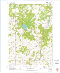
1973 · Colburn
USGS Topo · 1:24,000