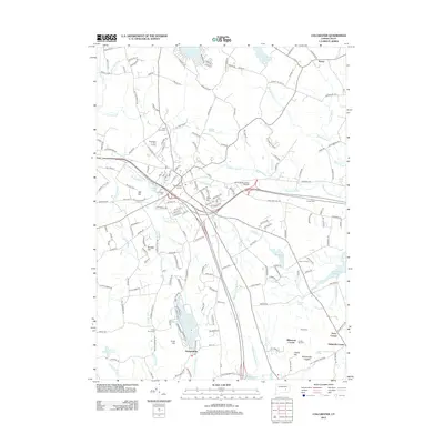
2012 Map of Colchester
USGS Topo · Published 2012About this map
Haywardville and Exeter anchor this section of southeastern Connecticut, where the landscape transitions from established village centers to wooded hills and upland ponds. The town’s history is preserved in its numerous burial sites, from the central Old Burying Ground and Linwood Cem to the outlying Exeter Cem and Cockle Hill Cem. These sites, along with family-named landmarks like Halls Hill and Avery Corner, provide a grounded record of the area's genealogical roots.
Find a feature on this map
199 named features on this map. Tap any name to fly to it.
Don’t see what you’re looking for? This feature index may not catch every label — zoom into the map to look around manually.
Map Details
Editions of this 2012 Colchester Map
This is the sole edition of this map. No revisions or reprints were ever made.
Other maps of this area

1892 · New London
USGS Topo · 1:62,500

1892 · Norwich
USGS Topo · 1:62,500

1892 · Gilead
USGS Topo · 1:62,500

1893 · New London
USGS Topo · 1:62,500

1893 · Saybrook
USGS Topo · 1:62,500

1921 · New London
USGS Topo · 1:62,500

1935 · Montville
USGS Topo · 1:24,000

1939 · Montville
USGS Topo · 1:31,680

1943 · Fitchville
USGS Topo · 1:31,680

1944 · Marlboro
USGS Topo · 1:31,680