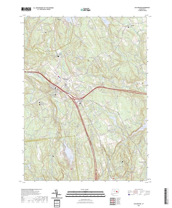
2024 Map of Colchester
USGS Topo · Published 2024About this map
Colchester sits at the heart of this landscape, where modern infrastructure meets a deep-seated local history preserved in its cemeteries and traditional neighborhoods. The town center is surrounded by specialized sites like the Old Jewish Cem and Saint Mary Ukrainian Catholic Cem, reflecting the diverse heritage of this New London County community. To the north, Amston and Amston Lake define the border with the Capitol Planning Region, while the eastern terrain transitions into the wetlands of Dutton Swamp and the waters of Deep River Reservoir. The transition from rail to trail is evident in the Colchester Railroad Trl, which now traces the path of former industry through the town. Notable landmarks like Halls Hill and the Rattlesnake Ledges overlook a complex drainage network including Meadow Brook and the Eightmile River, illustrating how the area's hydrology has shaped settlement from Exeter to the southern reaches of Lake Hayward.
Find a feature on this map
159 named features on this map. Tap any name to fly to it.
Don’t see what you’re looking for? This feature index may not catch every label — zoom into the map to look around manually.
Map Details
Editions of this 2024 Colchester Map
This is the sole edition of this map. No revisions or reprints were ever made.
Other maps of this area

1892 · New London
USGS Topo · 1:62,500

1892 · Norwich
USGS Topo · 1:62,500

1892 · Gilead
USGS Topo · 1:62,500

1893 · New London
USGS Topo · 1:62,500

1893 · Saybrook
USGS Topo · 1:62,500

1921 · New London
USGS Topo · 1:62,500

1935 · Montville
USGS Topo · 1:24,000

1939 · Montville
USGS Topo · 1:31,680

1943 · Fitchville
USGS Topo · 1:31,680

1944 · Marlboro
USGS Topo · 1:31,680