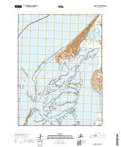
2020 Map of Cold Bay B-2 NW
USGS Topo · Published 2020About this map
The coast of the Bering Sea dominates this landscape in the Aleutians East Borough, where the intricate tidal systems of Moffet Lagoon and Izembek Lagoon define the coastline. This area is characterized by shifting sandbars and low-lying coastal features, including the prominent Moffet Point and Blaine Point. The complex network of waterways surrounding Neumann Island illustrates the dynamic nature of this subarctic environment. While this 2020 edition was produced from data including 2016 SPOT imagery, the physical geography remains the primary focus, showing no established roads or modern infrastructure in this specific quadrangle. Researchers can observe the detailed landform of the barrier islands and the specific township and range boundaries, such as t54s r87w and t55s r87w, which divide these waters and points into precise surveying blocks.
Find a feature on this map
10 named features on this map. Tap any name to fly to it.
Don’t see what you’re looking for? This feature index may not catch every label — zoom into the map to look around manually.
Map Details
Editions of this 2020 Cold Bay B-2 NW Map
This is the sole edition of this map. No revisions or reprints were ever made.
Other maps of this area

1943 · Fort Randall
USGS Topo · 1:250,000
1944 · Cold Bay Sheet No. 1 of 25
USGS Topo · 1:25,000
1944 · Cold Bay Sheet No. 2 of 25
USGS Topo · 1:25,000

1949 · Fort Randall
USGS Topo · 1:250,000

1950 · Fort Randall
USGS Topo · 1:250,000
1963 · Cold Bay C-2
USGS Topo · 1:63,360
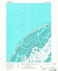
1963 · Cold Bay B-3
USGS Topo · 1:63,360
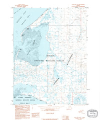
1995 · Cold Bay B-2
USGS Topo · 1:63,360
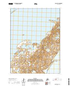
2020 · Cold Bay B-3 SE
USGS Topo · 1:25,000
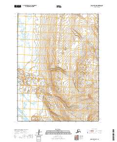
2020 · Cold Bay B-2 NE
USGS Topo · 1:25,000