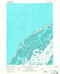
1963 Map of Cold Bay B-3
USGS Topo · Published 1967About this map
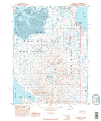
Izembek Lagoon and its intricate network of tidal flats dominate this coastal survey, where the terrestrial world gives way to the Bering Sea. The landscape is protected as the Izembek National Wildlife Range, a critical habitat defined by migratory waters and shifting shoals. Along the outer coast, the Kudiakof Islands—including the slender finger of Glen Island—form a natural barrier protecting the lagoon from the surges of Bristol Bay.
Find a feature on this map
25 named features on this map. Tap any name to fly to it.
Don’t see what you’re looking for? This feature index may not catch every label — zoom into the map to look around manually.
Map Details
Editions of this 1963 Cold Bay B-3 Map
2 editions found
Other maps of this area

1943 · Fort Randall
USGS Topo · 1:250,000
1944 · Cold Bay Sheet No. 1 of 25
USGS Topo · 1:25,000
1944 · Cold Bay Sheet No. 2 of 25
USGS Topo · 1:25,000

1949 · Fort Randall
USGS Topo · 1:250,000

1950 · Fort Randall
USGS Topo · 1:250,000
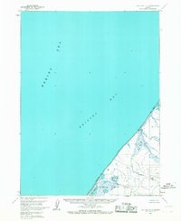
1963 · Cold Bay C-2
USGS Topo · 1:63,360
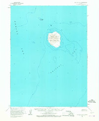
1963 · Cold Bay B-4
USGS Topo · 1:63,360
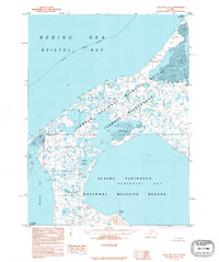
1995 · Cold Bay A-4
USGS Topo · 1:63,360
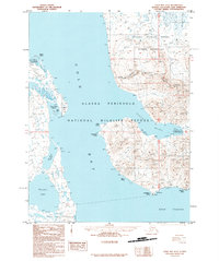
1995 · Cold Bay A-2
USGS Topo · 1:63,360
1995 · Cold Bay A-3
USGS Topo · 1:63,360