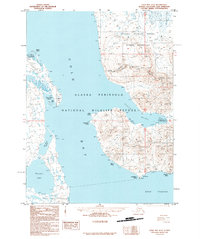
1995 Map of Cold Bay A-2
USGS Topo · Published 1995About this map
Cold Bay dominates this portion of the Alaska Peninsula, serving as a central maritime corridor framed by a complex network of lagoons and coastal points. On the western shore, the landscape is defined by sheltered waters such as Nurse Lagoon, Mortensens Lagoon, and Old Mans Lagoon, which are separated from the open bay by narrow spits. To the south, Thinpoint Lake sits near the head of the bay, while Deer Passage marks the southern maritime boundary. This mid-1990s survey illustrates the intersection of several conservation boundaries, including the Izembek National Wildlife Refuge and the Izembek Wilderness, alongside the Alaska Peninsula National Wildlife Refuge. The eastern coast is punctuated by sharp terrain features like Kelp Point, Kaslokan Point, and Morgan Point, as well as the deep indentation of Lenard Harbor.
Find a feature on this map
22 named features on this map. Tap any name to fly to it.
Don’t see what you’re looking for? This feature index may not catch every label — zoom into the map to look around manually.
Map Details
Editions of this 1995 Cold Bay A-2 Map
This is the sole edition of this map. No revisions or reprints were ever made.
Other maps of this area

1943 · Fort Randall
USGS Topo · 1:250,000

1949 · False Pass
USGS Topo · 1:250,000

1949 · Fort Randall
USGS Topo · 1:250,000

1950 · False Pass
USGS Topo · 1:250,000

1950 · Fort Randall
USGS Topo · 1:250,000
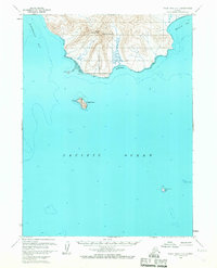
1963 · False Pass D-3
USGS Topo · 1:63,360
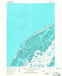
1963 · Cold Bay B-3
USGS Topo · 1:63,360

1963 · False Pass D-1
USGS Topo · 1:63,360

1963 · False Pass D-2
USGS Topo · 1:63,360
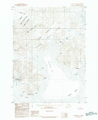
1983 · Cold Bay A-1
USGS Topo · 1:63,360