
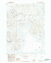
1963 Map of False Pass D-2
USGS Topo · Published 1967About this map
Deer Island and the maritime approaches of the Aleutians East region dominate this mid-century hydrographic and topographic study. The landscape is defined by its coastal hazards and sheltered waters, featuring the treacherous Sandman Reefs and the protected Fox Island Anchorage. On the mainland, Thin Point reaches into the Pacific Ocean, separating Thinpoint Cove from the larger expanse of Cold Bay.
Find a feature on this map
20 named features on this map. Tap any name to fly to it.
Don’t see what you’re looking for? This feature index may not catch every label — zoom into the map to look around manually.
Map Details
Editions of this 1963 False Pass D-2 Map
2 editions found
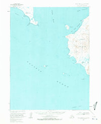
Other maps of this area

1943 · Fort Randall
USGS Topo · 1:250,000

1949 · False Pass
USGS Topo · 1:250,000

1949 · Fort Randall
USGS Topo · 1:250,000

1950 · False Pass
USGS Topo · 1:250,000

1950 · Fort Randall
USGS Topo · 1:250,000
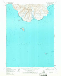
1963 · False Pass D-3
USGS Topo · 1:63,360
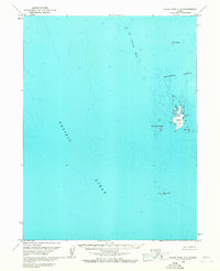
1963 · False Pass C-2
USGS Topo · 1:63,360

1963 · False Pass D-1
USGS Topo · 1:63,360
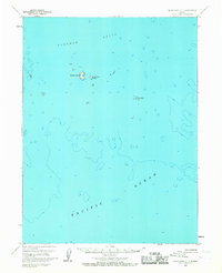
1963 · False Pass C-1
USGS Topo · 1:63,360
1983 · Cold Bay A-1
USGS Topo · 1:63,360