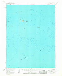
1963 Map of False Pass C-1
USGS Topo · Published 1967About this map
Sandman Reefs dominate the northern portion of this maritime survey, illustrating the complex underwater topography of the Aleutians East region. Mapped from 1957 aerial photography and field-annotated in the early 1960s, the sheet focuses on the hazardous marine environment where the Pacific Ocean meets these scattered outcroppings. The small, isolated landmasses of Goose Island, Little Goose Island, and Hay Island provide the only terrestrial reference points amidst a sea of depth soundings and bathymetric contours. This document captures a remote frontier before modern satellite surveying, utilizing hydrographic data from the Usc&GS to chart the submerged hazards that define this subarctic coastline.
Find a feature on this map
10 named features on this map. Tap any name to fly to it.
Don’t see what you’re looking for? This feature index may not catch every label — zoom into the map to look around manually.
Map Details
Editions of this 1963 False Pass C-1 Map
2 editions found
Other maps of this area

1949 · False Pass
USGS Topo · 1:250,000

1950 · False Pass
USGS Topo · 1:250,000
1963 · False Pass D-0
USGS Topo · 1:63,360
1963 · False Pass C-2
USGS Topo · 1:63,360

1963 · False Pass D-1
USGS Topo · 1:63,360

1963 · False Pass D-2
USGS Topo · 1:63,360
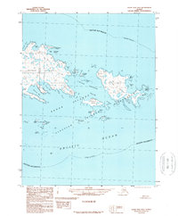
1989 · False Pass B-2
USGS Topo · 1:63,360
2020 · False Pass C-1 SW
USGS Topo · 1:25,000
2020 · False Pass C-1 SE
USGS Topo · 1:25,000
2020 · False Pass C-1 NE
USGS Topo · 1:25,000