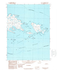
1989 Map of False Pass B-2
USGS Topo · Published 1989About this map
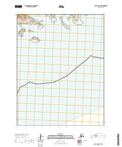
Sanak Island and the surrounding Sanak Islands anchor this 1989 maritime study of the eastern Aleutian archipelago. The map reveals a complex coastal landscape of protected inlets like Peterson Bay and Northeast Harbor, which historically served as critical shelter for fishing and sealing vessels. Much of the eastern portion of the sheet is designated as the Aleutian Islands Wilderness, encompassing Caton Island and smaller landmasses such as Elma Island and Gunboat Island.
Find a feature on this map
40 named features on this map. Tap any name to fly to it.
Don’t see what you’re looking for? This feature index may not catch every label — zoom into the map to look around manually.
Map Details
Editions of this 1989 False Pass B-2 Map
This is the sole edition of this map. No revisions or reprints were ever made.
Other maps of this area

1949 · False Pass
USGS Topo · 1:250,000

1950 · False Pass
USGS Topo · 1:250,000
1963 · False Pass C-2
USGS Topo · 1:63,360
1963 · False Pass C-1
USGS Topo · 1:63,360
1989 · False Pass B-3
USGS Topo · 1:63,360
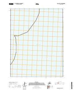
2020 · False Pass C-1 SW
USGS Topo · 1:25,000
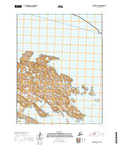
2020 · False Pass B-2 NW
USGS Topo · 1:25,000
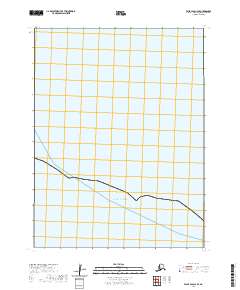
2020 · False Pass C-3 SE
USGS Topo · 1:25,000
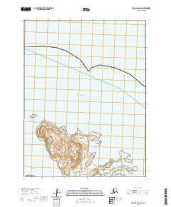
2020 · False Pass B-2 NE
USGS Topo · 1:25,000
2020 · False Pass B-2 SE
USGS Topo · 1:25,000