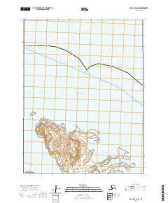
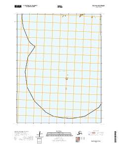
2020 Map of False Pass B-2 NE
USGS Topo · Published 2020About this map
Caton Island and its surrounding waters dominate this maritime survey of the Aleutian chain, providing a clear view of the complex coastal geography near the Pacific Ocean. The map documents a landscape defined by maritime navigation and survival, where the sheltered waters of Lida Anchorage and the protected inlet of Whale Bay serve as critical points of reference for those traversing these northern reaches. The terrain is marked by prominent coastal features including Whale Point and Lookout Point, which likely served as essential landmarks for mariners and local inhabitants. Offshore, Lida Island and the submerged hazards of Fairway Reef illustrate the natural barriers that shape the local economy and transportation patterns in this island chain.
Find a feature on this map
12 named features on this map. Tap any name to fly to it.
Don’t see what you’re looking for? This feature index may not catch every label — zoom into the map to look around manually.
Map Details
Editions of this 2020 False Pass B-2 NE Map
This is the sole edition of this map. No revisions or reprints were ever made.
Other maps of this area

1949 · False Pass
USGS Topo · 1:250,000

1950 · False Pass
USGS Topo · 1:250,000
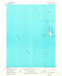
1963 · False Pass C-2
USGS Topo · 1:63,360
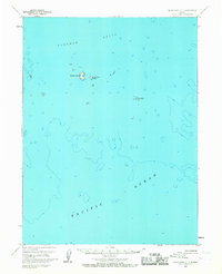
1963 · False Pass C-1
USGS Topo · 1:63,360
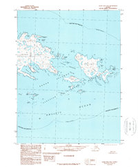
1989 · False Pass B-2
USGS Topo · 1:63,360
2020 · False Pass C-1 SW
USGS Topo · 1:25,000
2020 · False Pass B-2 NW
USGS Topo · 1:25,000
2020 · False Pass B-2 SE
USGS Topo · 1:25,000
2020 · False Pass B-2 SW
USGS Topo · 1:25,000
2020 · False Pass C-2 SE
USGS Topo · 1:25,000