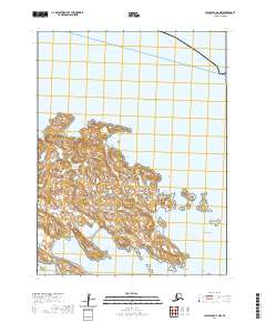
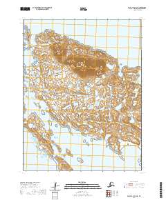
2020 Map of False Pass B-2 NW
USGS Topo · Published 2020About this map
Sanak Island and the surrounding Sanak Islands archipelago dominate this maritime survey, revealing a landscape defined by intricate shorelines and protected coves. Located within the Pacific Ocean, the land is punctuated by natural landmarks such as Northeast Point and Eagle Rock. The coastline is carved into several significant maritime features, including Johnson Bay and Northeast Harbor to the north, and Salmon Bay and Caton Harbor to the south. Smaller landmasses like Finneys Island, Wanda Island, and Princess Rock dot the eastern waters. The presence of Enton Point and Peterson Bay at the southern edge suggests a terrain shaped by the relentless action of the sea, providing a detailed record of this remote Aleutian landform before shifting coastal dynamics alter its profile.
Find a feature on this map
19 named features on this map. Tap any name to fly to it.
Don’t see what you’re looking for? This feature index may not catch every label — zoom into the map to look around manually.
Map Details
Editions of this 2020 False Pass B-2 NW Map
This is the sole edition of this map. No revisions or reprints were ever made.
Other maps of this area

1949 · False Pass
USGS Topo · 1:250,000

1950 · False Pass
USGS Topo · 1:250,000
1963 · False Pass C-2
USGS Topo · 1:63,360
1989 · False Pass B-2
USGS Topo · 1:63,360
1989 · False Pass B-3
USGS Topo · 1:63,360
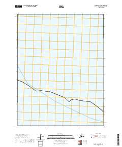
2020 · False Pass C-3 SE
USGS Topo · 1:25,000
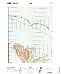
2020 · False Pass B-2 NE
USGS Topo · 1:25,000
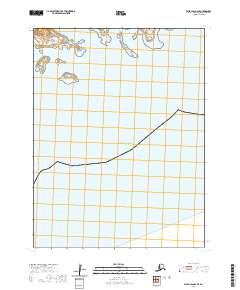
2020 · False Pass B-2 SE
USGS Topo · 1:25,000
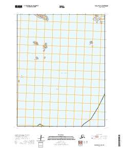
2020 · False Pass B-2 SW
USGS Topo · 1:25,000
2020 · False Pass B-3 NE
USGS Topo · 1:25,000