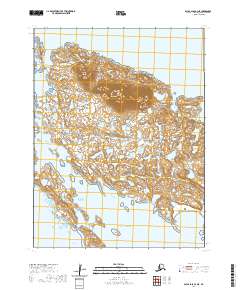
2020 Map of False Pass B-3 NE
USGS Topo · Published 2020About this map
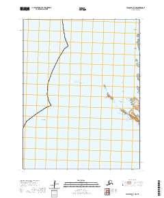
Sanak Island dominates this maritime survey, illustrating the isolated geography of the Aleutians East region. The landscape is defined by the high ground of Sanak Peak and a coastline punctuated by numerous inlets and small landmasses, including Long Island and Clifford Island. The map documents the sites of Sanak and Pauloff Harbor, settlements situated near protected waters such as Sanak Harbor and Pavlof Harbor.
Find a feature on this map
20 named features on this map. Tap any name to fly to it.
Don’t see what you’re looking for? This feature index may not catch every label — zoom into the map to look around manually.
Map Details
Editions of this 2020 False Pass B-3 NE Map
This is the sole edition of this map. No revisions or reprints were ever made.
Other maps of this area

1949 · False Pass
USGS Topo · 1:250,000

1950 · False Pass
USGS Topo · 1:250,000
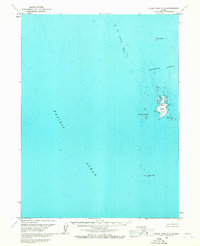
1963 · False Pass C-2
USGS Topo · 1:63,360
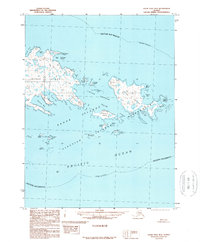
1989 · False Pass B-2
USGS Topo · 1:63,360
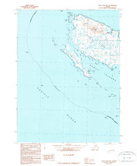
1989 · False Pass B-3
USGS Topo · 1:63,360
2020 · False Pass B-3 SW
USGS Topo · 1:25,000
2020 · False Pass C-3 SW
USGS Topo · 1:25,000
2020 · False Pass B-2 NW
USGS Topo · 1:25,000
2020 · False Pass C-3 SE
USGS Topo · 1:25,000
2020 · False Pass B-3 NW
USGS Topo · 1:25,000