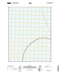
2020 Map of False Pass C-3 SW
USGS Topo · Published 2020About this map
Pacific Ocean waters dominate this maritime survey of the Aleutian island chain's northern reaches. This specific 2020 edition provides a focused look at an open marine corridor within the Pacific Ocean, where the absence of terrestrial features or coastal settlements reflects the vast maritime isolation of the False Pass C-3 SW quadrangle. The map is a dedicated navigational and hydrographic record of the open sea, documenting a segment of the North Pacific where only the deep water and the occasional grid of a modern topographic study mark the location.
Find a feature on this map
1 named feature on this map. Tap any name to fly to it.
Don’t see what you’re looking for? This feature index may not catch every label — zoom into the map to look around manually.
Map Details
Editions of this 2020 False Pass C-3 SW Map
This is the sole edition of this map. No revisions or reprints were ever made.
Other maps of this area

1949 · False Pass
USGS Topo · 1:250,000

1950 · False Pass
USGS Topo · 1:250,000
1989 · False Pass B-3
USGS Topo · 1:63,360
1989 · False Pass C-4
USGS Topo · 1:63,360
2020 · False Pass C-3 NW
USGS Topo · 1:25,000
2020 · False Pass C-3 SE
USGS Topo · 1:25,000
2020 · False Pass B-3 NW
USGS Topo · 1:25,000
2020 · False Pass B-3 NE
USGS Topo · 1:25,000
2020 · False Pass C-4 NE
USGS Topo · 1:25,000