
1949 Map of False Pass
USGS Topo · Published 1956About this map
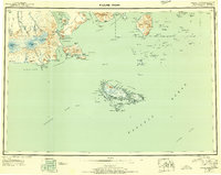
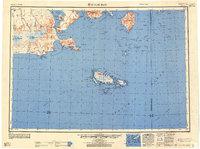
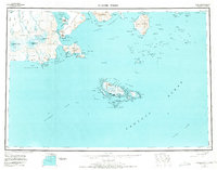
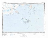
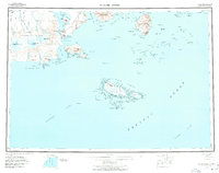
Unimak Island and the southwestern edge of the Alaska Peninsula meet at the narrow Isanotski Strait, where the settlement of False Pass sits along the shoreline of Bechevin Bay. This mid-century survey captures a landscape dominated by the massive peaks of Shishaldin Volcano and Isanotski Peaks, both contained within the Aleutian Islands National Wildlife Refuge. To the east, the Ikatan Peninsula and the settlement of Morzhovoi mark the entry to Ikatan Bay.
Find a feature on this map
151 named features on this map. Tap any name to fly to it.
Don’t see what you’re looking for? This feature index may not catch every label — zoom into the map to look around manually.
Map Details
Editions of this 1949 False Pass Map
6 editions found
Other maps of this area

1943 · Fort Randall
USGS Topo · 1:250,000
1944 · Cold Bay Sheet No. 20 of 25
USGS Topo · 1:25,000

1949 · Fort Randall
USGS Topo · 1:250,000

1950 · False Pass
USGS Topo · 1:250,000

1950 · Fort Randall
USGS Topo · 1:250,000

1951 · Unimak
USGS Topo · 1:250,000

1953 · Port Moller
USGS Topo · 1:250,000

1958 · Unimak
USGS Topo · 1:250,000

1963 · Port Moller A-5
USGS Topo · 1:63,360

1963 · Port Moller A-6
USGS Topo · 1:63,360