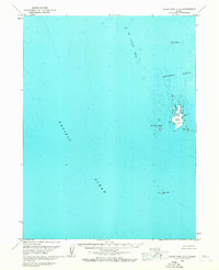
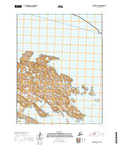
1963 Map of False Pass C-2
USGS Topo · Published 1967About this map
Cherni Island serves as the central focal point of this maritime survey in the Aleutians East region, surrounded by the hazardous navigation of the Sandman Reefs. The map captures a landscape defined by isolated landforms and extensive shoals, including the Southwest Islands and the descriptively named The Clubbing Rocks. Detailed soundings throughout the Pacific Ocean waters provide depth data essential for the era's seafaring, though the topography of the islands themselves remained largely unsurveyed by the Bureau of Land Management at the time of publication. Small land-based identifiers like Tidal B M 14 and the label Cher on the main island offer specific points of reference for researchers tracing maritime surveying history or the exact placement of early coastal markers.
Find a feature on this map
10 named features on this map. Tap any name to fly to it.
Don’t see what you’re looking for? This feature index may not catch every label — zoom into the map to look around manually.
Map Details
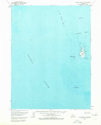
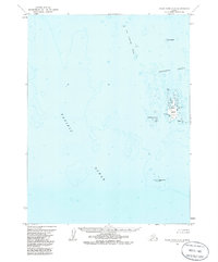
Editions of this 1963 False Pass C-2 Map
3 editions found
Other maps of this area

1949 · False Pass
USGS Topo · 1:250,000

1950 · False Pass
USGS Topo · 1:250,000
1963 · False Pass D-3
USGS Topo · 1:63,360

1963 · False Pass D-1
USGS Topo · 1:63,360

1963 · False Pass D-2
USGS Topo · 1:63,360
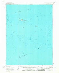
1963 · False Pass C-1
USGS Topo · 1:63,360
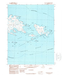
1989 · False Pass B-2
USGS Topo · 1:63,360
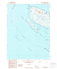
1989 · False Pass B-3
USGS Topo · 1:63,360
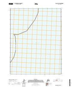
2020 · False Pass C-1 SW
USGS Topo · 1:25,000
2020 · False Pass B-2 NW
USGS Topo · 1:25,000