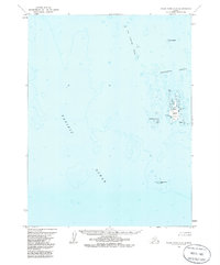
1963 Map of False Pass C-2
USGS Topo · Published 1985About this map
Cherni Island serves as the focal point of this coastal hydrographic survey, situated amidst the complex maritime environment of the Aleutians. The map documents a landscape of hazards and navigation aids, where Sandman Reefs and The Clubbing Rocks sprawl across the open waters of the Pacific Ocean. This 1963 field annotation records the precise locations of landmarks like Hague Rock Light, which provided essential guidance for vessels navigating the remote reaches of the Alaska Peninsula. The isolation of the Southwest Islands and Alma Island is evident, as no roads or trails existed in this area during the survey period. The data captures a specific moment in maritime history, reflecting the coordination between the Bureau of Land Management and the Geological Survey to delineate these land masses and underwater features.
Find a feature on this map
9 named features on this map. Tap any name to fly to it.
Don’t see what you’re looking for? This feature index may not catch every label — zoom into the map to look around manually.
Map Details
Editions of this 1963 False Pass C-2 Map
3 editions found
Other maps of this area

1949 · False Pass
USGS Topo · 1:250,000

1950 · False Pass
USGS Topo · 1:250,000
1963 · False Pass D-3
USGS Topo · 1:63,360
1963 · False Pass C-2
USGS Topo · 1:63,360

1963 · False Pass D-1
USGS Topo · 1:63,360

1963 · False Pass D-2
USGS Topo · 1:63,360
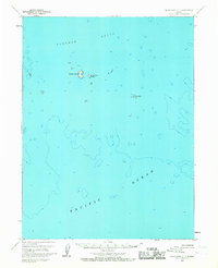
1963 · False Pass C-1
USGS Topo · 1:63,360
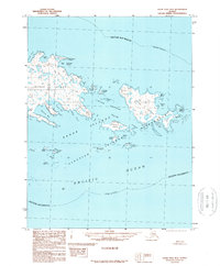
1989 · False Pass B-2
USGS Topo · 1:63,360
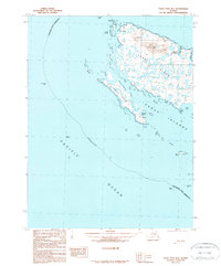
1989 · False Pass B-3
USGS Topo · 1:63,360
2020 · False Pass C-1 SW
USGS Topo · 1:25,000