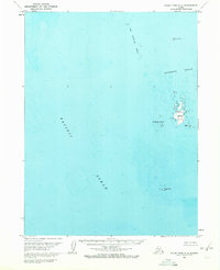
1963 Map of False Pass C-2
USGS Topo · Published 1972About this map
Cherni Island serves as the focal point of this coastal survey, surrounded by the intricate hazards of the Sandman Reefs in the Pacific Ocean. This 1963 field-annotated study reveals a treacherous maritime environment where small island clusters and isolated outcrops dominate the seascape. To the north, The Clubbing Rocks and Alma Island mark the outer reaches of this archipelago, while the Southwest Islands flank the central landmass. The presence of specific maritime markers, such as the light on Hague Rock and the elevations noted on Eagle I, underscores the importance of this data for navigating the complex waters of the Aleutians East region. The map highlights the intersection of land and sea in a remote Alaskan territory where shifting shoals and rocky reefs define the local geography.
Find a feature on this map
8 named features on this map. Tap any name to fly to it.
Don’t see what you’re looking for? This feature index may not catch every label — zoom into the map to look around manually.
Map Details
Editions of this 1963 False Pass C-2 Map
3 editions found
Other maps of this area

1949 · False Pass
USGS Topo · 1:250,000

1950 · False Pass
USGS Topo · 1:250,000
1963 · False Pass D-3
USGS Topo · 1:63,360
1963 · False Pass C-2
USGS Topo · 1:63,360

1963 · False Pass D-1
USGS Topo · 1:63,360

1963 · False Pass D-2
USGS Topo · 1:63,360
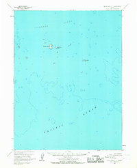
1963 · False Pass C-1
USGS Topo · 1:63,360
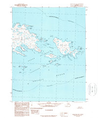
1989 · False Pass B-2
USGS Topo · 1:63,360
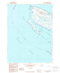
1989 · False Pass B-3
USGS Topo · 1:63,360
2020 · False Pass C-1 SW
USGS Topo · 1:25,000