2020 Map of False Pass B-3 SW
USGS Topo · Published 2020About this map
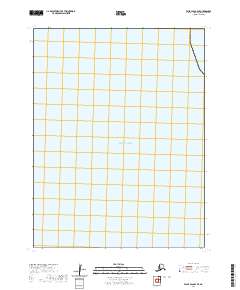
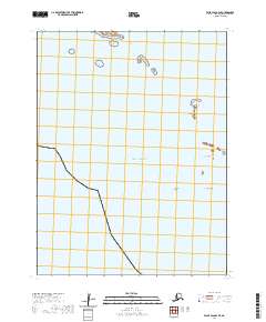
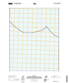
Oneida Rock stands as a solitary maritime landmark in this coastal region of the Aleutians East Borough. The survey centers on a vast expanse of the Pacific Ocean, documenting the maritime boundary and the Public Land Survey System grid within township t67s r91w. This nautical-focused sheet emphasizes the intersection of open water and the terrestrial surveying grid, providing a clear view of the coordinates that define these Alaskan waters near the edge of the False Pass B-3 quadrangle. The lack of inland development or terrestrial features highlights the area's significance as a reference point for maritime navigation and administrative mapping.
Find a feature on this map
3 named features on this map. Tap any name to fly to it.
Don’t see what you’re looking for? This feature index may not catch every label — zoom into the map to look around manually.
Map Details
Editions of this 2020 False Pass B-3 SW Map
This is the sole edition of this map. No revisions or reprints were ever made.