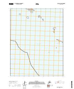
2020 Map of False Pass B-3 SE
USGS Topo · Published 2020About this map
The Pacific Ocean dominates this maritime survey of the Aleutian landscape, where isolated outcrops and coastal landforms define the boundary between the sea and the remote islands of the Aleutians East Borough. The geography is characterized by scattered landmasses such as Clifford Island in the north and the lone Sisters Island situated further south. This area is defined by its navigational hazards and distinct maritime landmarks, including the extensive Sanak Reefs and prominent features like South Rock and Haystack Rock. The mapping highlights the Public Land Survey System divisions for t67s r91w and t67s r90w, providing a precise grid over a largely aquatic environment where small, named island features serve as the primary points of reference for mariners and researchers alike.
Find a feature on this map
8 named features on this map. Tap any name to fly to it.
Don’t see what you’re looking for? This feature index may not catch every label — zoom into the map to look around manually.
Map Details
Editions of this 2020 False Pass B-3 SE Map
This is the sole edition of this map. No revisions or reprints were ever made.
Other maps of this area

1949 · False Pass
USGS Topo · 1:250,000

1950 · False Pass
USGS Topo · 1:250,000
1989 · False Pass B-2
USGS Topo · 1:63,360
1989 · False Pass B-3
USGS Topo · 1:63,360
2020 · False Pass B-3 SW
USGS Topo · 1:25,000
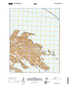
2020 · False Pass B-2 NW
USGS Topo · 1:25,000
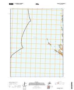
2020 · False Pass B-3 NW
USGS Topo · 1:25,000
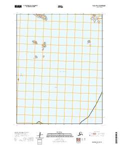
2020 · False Pass B-2 SW
USGS Topo · 1:25,000
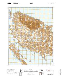
2020 · False Pass B-3 NE
USGS Topo · 1:25,000