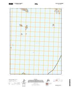
2020 Map of False Pass B-2 SW
USGS Topo · Published 2020About this map
Mary Island and Peterson Island are part of a dispersed archipelago of small landforms scattered across the Pacific Ocean in this coastal Alaskan quadrangle. The map details the maritime environment of the Aleutians East Borough, where isolated outcroppings like Dora Island and Seal Rock rise from the sea. These small islands, including Elma Island and Telemitz Island, represent significant navigational landmarks within a complex marine landscape characterized by treacherous features like the Sanak Reefs. The survey illustrates the township and range boundaries of t67s r90w and t67s r89w, providing a precise record of these remote land masses and their relationship to the surrounding waters as they appeared in 2020.
Find a feature on this map
34 named features on this map. Tap any name to fly to it.
Don’t see what you’re looking for? This feature index may not catch every label — zoom into the map to look around manually.
Map Details
Editions of this 2020 False Pass B-2 SW Map
This is the sole edition of this map. No revisions or reprints were ever made.
Other maps of this area

1949 · False Pass
USGS Topo · 1:250,000

1950 · False Pass
USGS Topo · 1:250,000
1989 · False Pass B-2
USGS Topo · 1:63,360
1989 · False Pass B-3
USGS Topo · 1:63,360
2020 · False Pass B-2 NW
USGS Topo · 1:25,000
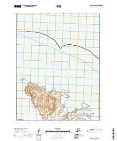
2020 · False Pass B-2 NE
USGS Topo · 1:25,000
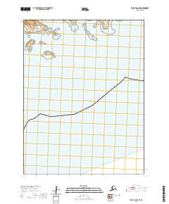
2020 · False Pass B-2 SE
USGS Topo · 1:25,000
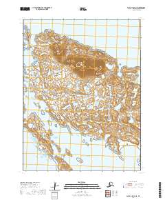
2020 · False Pass B-3 NE
USGS Topo · 1:25,000
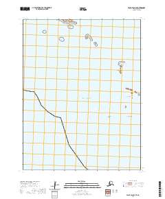
2020 · False Pass B-3 SE
USGS Topo · 1:25,000