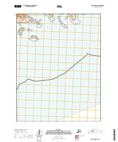
2020 Map of False Pass B-2 SE
USGS Topo · Published 2020About this map
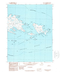
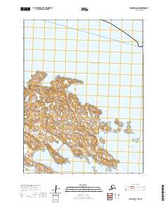
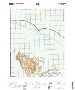
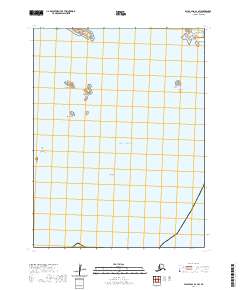
Pacific Ocean waters dominate this coastal reach of the Aleutians East Borough, where the maritime landscape is defined by a cluster of named islands and maritime passages. The northern edge of the map features several prominent landmasses including Elma Island, Inikla Island, Umla Island, and the smaller Gunboat Island. These islands are separated from larger coastal landforms by the Southeast Pass, a critical navigational feature in this remote Alaskan archipelago. The map illustrates the specific township and range boundaries of t67s r89w and t67s r88w, providing a precise look at the jurisdictional divisions of the sea and small islands at the start of the 2020s. This survey is particularly useful for understanding the exact positioning of these smaller named islands relative to the open ocean.
Find a feature on this map
8 named features on this map. Tap any name to fly to it.
Don’t see what you’re looking for? This feature index may not catch every label — zoom into the map to look around manually.
Map Details
Editions of this 2020 False Pass B-2 SE Map
This is the sole edition of this map. No revisions or reprints were ever made.