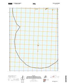
2020 Map of False Pass C-2 SE
USGS Topo · Published 2020About this map
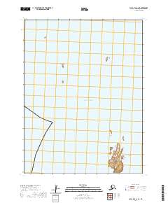
Pacific Ocean waters dominate this maritime survey of the Aleutians East Borough, where isolated landmasses like the Southwest Islands emerge from the sea. The map primarily documents the open water and marine landscape just off the Alaskan coast, punctuated by small, distinctive outcroppings such as Eagle Island and the solitary Hague Rock. This area reflects the remote nautical environment of the North Pacific, defined here by maritime boundaries including the townships t64s r87w and t65s r88w. Because the sheet focuses on these specific maritime features, it provides a precise look at the small islands and rock formations that serve as critical navigational markers or habitat within these coastal waters.
Find a feature on this map
6 named features on this map. Tap any name to fly to it.
Don’t see what you’re looking for? This feature index may not catch every label — zoom into the map to look around manually.
Map Details
Editions of this 2020 False Pass C-2 SE Map
This is the sole edition of this map. No revisions or reprints were ever made.
Other maps of this area

1949 · False Pass
USGS Topo · 1:250,000

1950 · False Pass
USGS Topo · 1:250,000
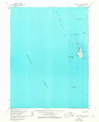
1963 · False Pass C-2
USGS Topo · 1:63,360
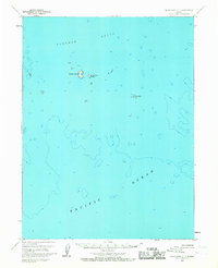
1963 · False Pass C-1
USGS Topo · 1:63,360
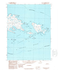
1989 · False Pass B-2
USGS Topo · 1:63,360
2020 · False Pass C-1 SW
USGS Topo · 1:25,000
2020 · False Pass B-2 NW
USGS Topo · 1:25,000
2020 · False Pass B-2 NE
USGS Topo · 1:25,000
2020 · False Pass C-1 NW
USGS Topo · 1:25,000
2020 · False Pass C-2 NE
USGS Topo · 1:25,000