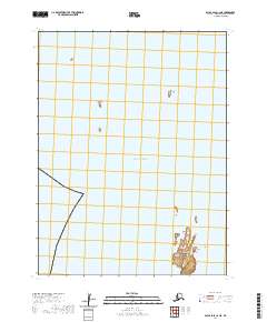
2020 Map of False Pass C-2 NE
USGS Topo · Published 2020About this map
Cherni Island and Alma Island are the primary landforms recorded in this maritime survey within the Pacific Ocean. Located in the Aleutians East Borough, this area is characterized by isolated land masses and the navigational hazard of Clubbing Rocks. The map focuses on these remote outposts of the Aleutian chain, providing precise documentation of shorelines and topographical elevations at a scale of 1:25,000. Grid coordinates for t63s r87w and t64s r87w define the survey boundaries, capturing the spatial relationship between these islands and the open sea during the early twenty-first century.
Find a feature on this map
7 named features on this map. Tap any name to fly to it.
Don’t see what you’re looking for? This feature index may not catch every label — zoom into the map to look around manually.
Map Details
Editions of this 2020 False Pass C-2 NE Map
This is the sole edition of this map. No revisions or reprints were ever made.
Other maps of this area

1949 · False Pass
USGS Topo · 1:250,000

1950 · False Pass
USGS Topo · 1:250,000
1963 · False Pass C-2
USGS Topo · 1:63,360

1963 · False Pass D-1
USGS Topo · 1:63,360

1963 · False Pass D-2
USGS Topo · 1:63,360
1963 · False Pass C-1
USGS Topo · 1:63,360
2020 · False Pass C-1 SW
USGS Topo · 1:25,000
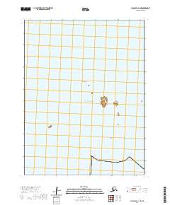
2020 · False Pass C-1 NW
USGS Topo · 1:25,000
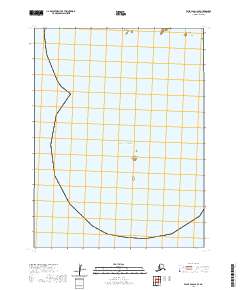
2020 · False Pass C-2 SE
USGS Topo · 1:25,000
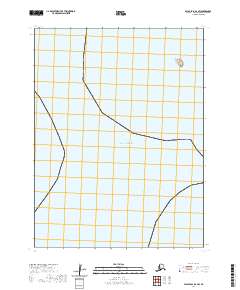
2020 · False Pass D-2 SW
USGS Topo · 1:25,000