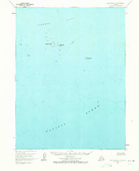
1963 Map of False Pass C-1
USGS Topo · Published 1972About this map
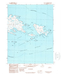
Sandman Reefs dominate this maritime landscape in the Aleutians East region, marking a complex network of underwater hazards and small outcroppings amidst the Pacific Ocean. This 1963 survey, based on aerial photography from 1957 and hydrographic data from 1966, documents the isolation of these small landmasses including Goose Island, Little Goose Island, and Hay Island. The map is characterized by its focus on bathymetry and nautical navigation, recording depth curves and soundings in the cold northern waters. The sparse terrestrial features emphasize the maritime nature of this area, where land is infrequent and these specific islands serve as the primary landmarks for mariners navigating the approaches near the Alaska Peninsula.
Find a feature on this map
5 named features on this map. Tap any name to fly to it.
Don’t see what you’re looking for? This feature index may not catch every label — zoom into the map to look around manually.
Map Details
Editions of this 1963 False Pass C-1 Map
2 editions found
Other maps of this area

1949 · False Pass
USGS Topo · 1:250,000

1950 · False Pass
USGS Topo · 1:250,000
1963 · False Pass D-0
USGS Topo · 1:63,360
1963 · False Pass C-2
USGS Topo · 1:63,360

1963 · False Pass D-1
USGS Topo · 1:63,360

1963 · False Pass D-2
USGS Topo · 1:63,360
1963 · False Pass C-1
USGS Topo · 1:63,360
1989 · False Pass B-2
USGS Topo · 1:63,360
2020 · False Pass C-1 SW
USGS Topo · 1:25,000
2020 · False Pass C-1 SE
USGS Topo · 1:25,000