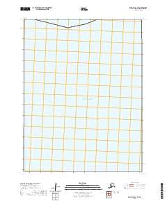
2020 Map of False Pass C-1 SE
USGS Topo · Published 2020About this map
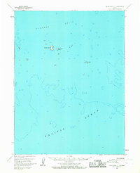
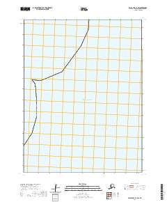
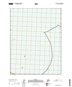
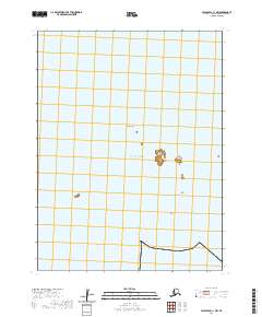
Pacific Ocean waters dominate this 2020 topographic record of the Aleutian maritime environment. This specific quadrangle reflects the vast expanse of the open sea south of the Alaskan Peninsula, with the survey focusing primarily on the hydrography and maritime boundaries of the region. The grid layout highlights the Public Land Survey System divisions, specifically t64s r86w and t64s r85w, which provide essential reference points for this offshore area. While modern imagery from June 2010 was utilized to define the map, the lack of terrestrial labels underscores the importance of this sheet for understanding the maritime spatial organization and administrative boundaries of the Aleutians East Borough.
Find a feature on this map
3 named features on this map. Tap any name to fly to it.
Don’t see what you’re looking for? This feature index may not catch every label — zoom into the map to look around manually.
Map Details
Editions of this 2020 False Pass C-1 SE Map
This is the sole edition of this map. No revisions or reprints were ever made.