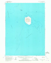
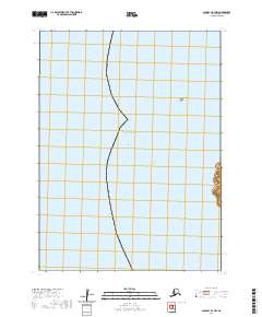
1963 Map of Cold Bay B-4
USGS Topo · Published 1967About this map
Amak Island dominates this mid-century survey, standing as a solitary volcanic landmass where the Bering Sea meets Bristol Bay. The map reveals the island's conservation status as part of the Aleutian Islands National Wildlife Refuge, emphasizing its role as a sanctuary for marine life and birds. Surveyed by the U.S. Geological Survey and USC&GS, the data includes hydrographic soundings and topographic relief of notable peaks like Amak and Badger.
Find a feature on this map
9 named features on this map. Tap any name to fly to it.
Don’t see what you’re looking for? This feature index may not catch every label — zoom into the map to look around manually.
Map Details
Editions of this 1963 Cold Bay B-4 Map
2 editions found
Other maps of this area

1943 · Fort Randall
USGS Topo · 1:250,000

1949 · Fort Randall
USGS Topo · 1:250,000

1950 · Fort Randall
USGS Topo · 1:250,000
1963 · Cold Bay B-3
USGS Topo · 1:63,360
1995 · Cold Bay A-5
USGS Topo · 1:63,360
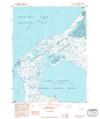
1995 · Cold Bay A-4
USGS Topo · 1:63,360
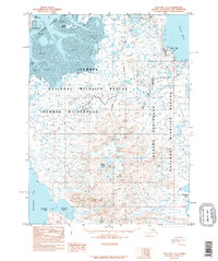
1995 · Cold Bay A-3
USGS Topo · 1:63,360
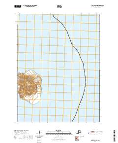
2020 · Cold Bay B-4 NE
USGS Topo · 1:25,000
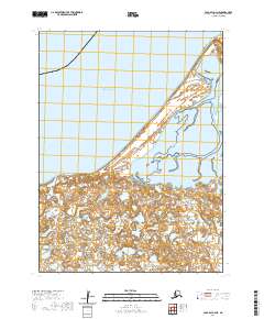
2020 · Cold Bay A-4 NE
USGS Topo · 1:25,000
2020 · Cold Bay B-4 NW
USGS Topo · 1:25,000