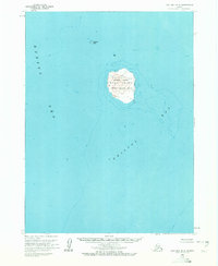
1963 Map of Cold Bay B-4
USGS Topo · Published 1972About this map
Amak Island rises from the surrounding waters where the Bering Sea meets Bristol Bay, serving as the primary landmass in this isolated maritime survey. As part of the Aleutian Islands National Wildlife Refuge, the island features significant topographic detail, including the peaks of Amak and Badger. To the northwest, Sealion Rock is marked with a Light, indicating its importance for navigation in these often treacherous northern waters. Historical interest is found on the southeastern shore of the island, where the presence of Ruins suggests earlier human activity or seasonal occupation. The map provides a focused look at the volcanic profile of the island and the bathymetry of the seafloor immediately surrounding this remote sanctuary during the early 1960s.
Find a feature on this map
9 named features on this map. Tap any name to fly to it.
Don’t see what you’re looking for? This feature index may not catch every label — zoom into the map to look around manually.
Map Details
Editions of this 1963 Cold Bay B-4 Map
2 editions found
Other maps of this area

1943 · Fort Randall
USGS Topo · 1:250,000

1949 · Fort Randall
USGS Topo · 1:250,000

1950 · Fort Randall
USGS Topo · 1:250,000
1963 · Cold Bay B-3
USGS Topo · 1:63,360
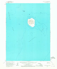
1963 · Cold Bay B-4
USGS Topo · 1:63,360
1995 · Cold Bay A-5
USGS Topo · 1:63,360
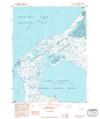
1995 · Cold Bay A-4
USGS Topo · 1:63,360
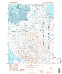
1995 · Cold Bay A-3
USGS Topo · 1:63,360
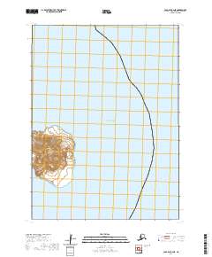
2020 · Cold Bay B-4 NE
USGS Topo · 1:25,000
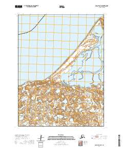
2020 · Cold Bay A-4 NE
USGS Topo · 1:25,000