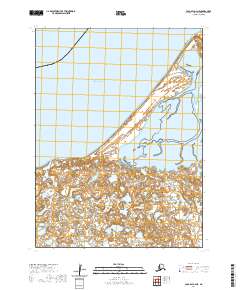
2020 Map of Cold Bay A-4 NE
USGS Topo · Published 2020About this map
The Alaska Peninsula extends into the cold reaches of the Bering Sea in this topographical representation of a remote coastal landscape. The terrain is defined by a low-lying, complex network of wetlands and small water bodies that dominate the southern half of the sheet, illustrating the saturated, shifting nature of this subarctic environment. Along the northern coast, the prominent landform of Cape Glazenap stands as a distinct marker where the land meets the open sea. These geographic features highlight the isolation and natural transition between the peninsula’s interior and the maritime influence of the north. The survey provides a clear view of the township and range lines, including t58s r91w, which anchor this wilderness within the public land survey system.
Find a feature on this map
6 named features on this map. Tap any name to fly to it.
Don’t see what you’re looking for? This feature index may not catch every label — zoom into the map to look around manually.
Map Details
Editions of this 2020 Cold Bay A-4 NE Map
This is the sole edition of this map. No revisions or reprints were ever made.
Other maps of this area

1943 · Fort Randall
USGS Topo · 1:250,000

1949 · Fort Randall
USGS Topo · 1:250,000

1950 · Fort Randall
USGS Topo · 1:250,000
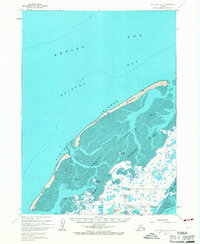
1963 · Cold Bay B-3
USGS Topo · 1:63,360
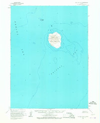
1963 · Cold Bay B-4
USGS Topo · 1:63,360
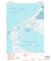
1995 · Cold Bay A-4
USGS Topo · 1:63,360
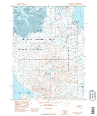
1995 · Cold Bay A-3
USGS Topo · 1:63,360
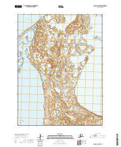
2020 · Cold Bay A-4 SW
USGS Topo · 1:25,000
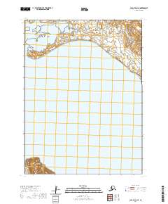
2020 · Cold Bay A-4 SE
USGS Topo · 1:25,000
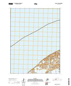
2020 · Cold Bay A-4 NW
USGS Topo · 1:25,000