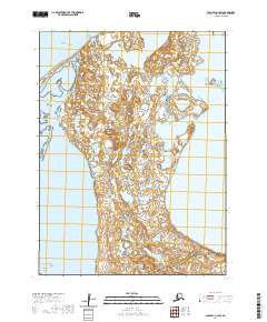
2020 Map of Cold Bay A-4 SW
USGS Topo · Published 2020About this map
Bering Sea waters dominate the northern reaches of this coastal landscape, where the shifting shoreline meets the northern edge of the Aleutian Islands chain. This maritime environment is defined by its complex hydrography, featuring enclosed water bodies like Lake Gilbert and the tidal reaches of Middle Lagoon and Little Lagoon. The landforms transition into the Fox Islands group at the southern boundary, where the Isanotski Islands sit within the wider expanse of Bechevin Bay. The map reveals an area devoid of roads or modern infrastructure, instead highlighting a raw, coastal wilderness as it appeared during the 2016 imagery collection and 2020 topographic update. The absence of settlements emphasizes the remote nature of these islands at the tip of the Alaska Peninsula.
Find a feature on this map
14 named features on this map. Tap any name to fly to it.
Don’t see what you’re looking for? This feature index may not catch every label — zoom into the map to look around manually.
Map Details
Editions of this 2020 Cold Bay A-4 SW Map
This is the sole edition of this map. No revisions or reprints were ever made.
Other maps of this area

1943 · Fort Randall
USGS Topo · 1:250,000

1949 · False Pass
USGS Topo · 1:250,000

1949 · Fort Randall
USGS Topo · 1:250,000

1950 · False Pass
USGS Topo · 1:250,000

1950 · Fort Randall
USGS Topo · 1:250,000
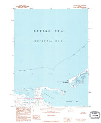
1995 · Cold Bay A-5
USGS Topo · 1:63,360
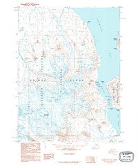
1995 · False Pass D-5
USGS Topo · 1:63,360
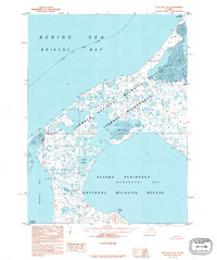
1995 · Cold Bay A-4
USGS Topo · 1:63,360
1995 · False Pass D-4
USGS Topo · 1:63,360
2020 · False Pass D-5 NE
USGS Topo · 1:25,000