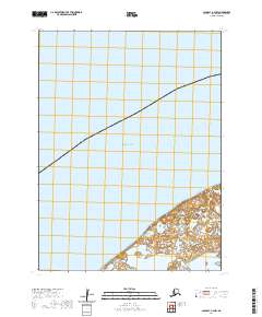
2020 Map of Cold Bay A-4 NW
USGS Topo · Published 2020About this map
Lake Gilbert sits at the edge of the Aleutian landscape where the coastal wetlands of the Alaska Peninsula meet the vast waters of the Bristol Bay region. This 2020 survey by the U.S. Geological Survey details a sparsely populated coastal interface within the Bering Sea basin. The map is defined by the complex hydrography of the lowland marshes and the systematic division of the land into townships t58s r93w and t58s r92w. The lack of named settlements or infrastructure reflects the wilderness character of the Aleutians East Borough, where the focus remains on the natural shoreline and the intricate network of unnamed ponds and inlets surrounding the larger lake.
Find a feature on this map
5 named features on this map. Tap any name to fly to it.
Don’t see what you’re looking for? This feature index may not catch every label — zoom into the map to look around manually.
Map Details
Editions of this 2020 Cold Bay A-4 NW Map
This is the sole edition of this map. No revisions or reprints were ever made.
Other maps of this area

1943 · Fort Randall
USGS Topo · 1:250,000

1949 · Fort Randall
USGS Topo · 1:250,000

1950 · Fort Randall
USGS Topo · 1:250,000
1963 · Cold Bay B-4
USGS Topo · 1:63,360
1995 · Cold Bay A-5
USGS Topo · 1:63,360
1995 · Cold Bay A-4
USGS Topo · 1:63,360
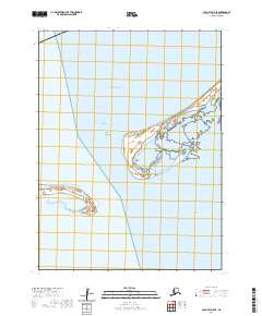
2020 · Cold Bay A-5 SE
USGS Topo · 1:25,000
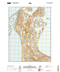
2020 · Cold Bay A-4 SW
USGS Topo · 1:25,000
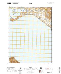
2020 · Cold Bay A-4 SE
USGS Topo · 1:25,000
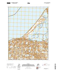
2020 · Cold Bay A-4 NE
USGS Topo · 1:25,000