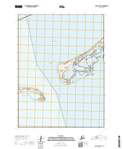
2020 Map of Cold Bay A-5 SE
USGS Topo · Published 2020About this map
Cape Krenitzin projects into the cold waters of the Bering Sea, marking a significant landform on the remote coastal edge of the Aleutians East Borough. This 2020 survey details the complex shoreline where the sea meets the sheltered reaches of Hook Bay and the broader expanse of Bechevin Bay to the south. The terrain is characterized by low-lying coastal features and tidal flats, specifically around Chunak Point. The map reflects a landscape defined by its maritime geography rather than human settlement, serving as a primary record of the natural coastline and its bathymetric interfaces in a region where the environment remains the dominant force.
Find a feature on this map
10 named features on this map. Tap any name to fly to it.
Don’t see what you’re looking for? This feature index may not catch every label — zoom into the map to look around manually.
Map Details
Editions of this 2020 Cold Bay A-5 SE Map
This is the sole edition of this map. No revisions or reprints were ever made.
Other maps of this area

1943 · Fort Randall
USGS Topo · 1:250,000

1949 · False Pass
USGS Topo · 1:250,000

1949 · Fort Randall
USGS Topo · 1:250,000

1950 · False Pass
USGS Topo · 1:250,000

1950 · Fort Randall
USGS Topo · 1:250,000
1995 · Cold Bay A-5
USGS Topo · 1:63,360
1995 · False Pass D-5
USGS Topo · 1:63,360
1995 · Cold Bay A-4
USGS Topo · 1:63,360
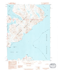
1995 · False Pass D-4
USGS Topo · 1:63,360
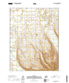
2020 · False Pass D-5 NW
USGS Topo · 1:25,000