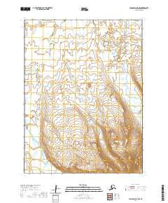
2020 Map of False Pass D-5 NW
USGS Topo · Published 2020About this map
Unimak Island serves as the focal point for this survey of the eastern Aleutian Islands, revealing a landscape defined by dramatic elevation changes. The northern half of the sheet is characterized by lower coastal terrain dotted with numerous small lakes and ponds, while the southern portion rises sharply into high ridges. The absence of roads or established settlements on this map underscores the isolation of this part of the Aleutians East Borough, where the environment remains shaped by natural processes rather than human development. Surveyors from the U.S. Geological Survey have captured a moment of relative stillness in this maritime region, utilizing National Elevation Dataset contours from 2019 to delineate the steep slopes of the southern island interior.
Find a feature on this map
6 named features on this map. Tap any name to fly to it.
Don’t see what you’re looking for? This feature index may not catch every label — zoom into the map to look around manually.
Map Details
Editions of this 2020 False Pass D-5 NW Map
This is the sole edition of this map. No revisions or reprints were ever made.
Other maps of this area

1943 · Fort Randall
USGS Topo · 1:250,000

1949 · False Pass
USGS Topo · 1:250,000

1949 · Fort Randall
USGS Topo · 1:250,000

1950 · False Pass
USGS Topo · 1:250,000

1950 · Fort Randall
USGS Topo · 1:250,000
1989 · Cold Bay A-6
USGS Topo · 1:63,360
1989 · False Pass D-6
USGS Topo · 1:63,360
1995 · Cold Bay A-5
USGS Topo · 1:63,360
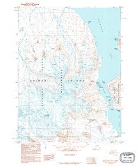
1995 · False Pass D-5
USGS Topo · 1:63,360
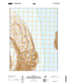
2020 · False Pass D-5 NE
USGS Topo · 1:25,000