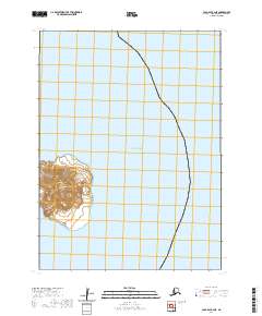
2020 Map of Cold Bay B-4 NE
USGS Topo · Published 2020About this map
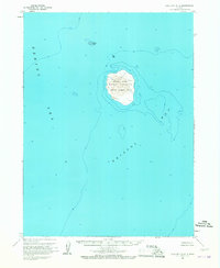
Amak Island rises as a solitary landmass in the vast waters of the Bering Sea within this recent topographic study. The island's elevation is clearly defined by sharp contour lines, illustrating its volcanic profile against the surrounding marine environment. Though the island itself is uninhabited, the survey provides precise geographic data for the t55s r91w township area, documenting the shoreline and coastal topography of this Aleutians East Borough location. This map serves as a primary record of the island's physical footprint and its isolation in the North Pacific.
Find a feature on this map
3 named features on this map. Tap any name to fly to it.
Don’t see what you’re looking for? This feature index may not catch every label — zoom into the map to look around manually.
Map Details
Editions of this 2020 Cold Bay B-4 NE Map
This is the sole edition of this map. No revisions or reprints were ever made.