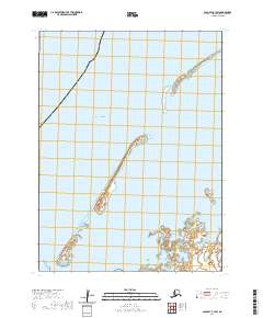
2020 Map of Cold Bay B-3 SW
USGS Topo · Published 2020About this map
Izembek Lagoon and the surrounding coastal waters of the Bering Sea define this section of the Alaska Peninsula. The landscape is a complex of barrier islands and tidal flats, where Kudiakof Islands and Glen Island stand as prominent landforms against the open sea. This 2020 survey illustrates the remote maritime character of the region, emphasizing the intricate shorelines of Izembek Slough and the eastern reach of Bird Island. Human infrastructure is minimal, represented primarily by Grant Point Road which terminates at the geographic landmark of Grant Point. The map provides a precise view of these dynamic coastal features as they were documented by the U.S. Geological Survey in the early twenty-first century.
Find a feature on this map
12 named features on this map. Tap any name to fly to it.
Don’t see what you’re looking for? This feature index may not catch every label — zoom into the map to look around manually.
Map Details
Editions of this 2020 Cold Bay B-3 SW Map
This is the sole edition of this map. No revisions or reprints were ever made.
Other maps of this area

1943 · Fort Randall
USGS Topo · 1:250,000
1944 · Cold Bay Sheet No. 1 of 25
USGS Topo · 1:25,000

1949 · Fort Randall
USGS Topo · 1:250,000

1950 · Fort Randall
USGS Topo · 1:250,000
1963 · Cold Bay B-3
USGS Topo · 1:63,360
1963 · Cold Bay B-4
USGS Topo · 1:63,360
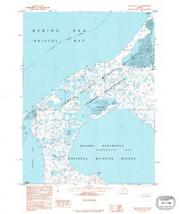
1995 · Cold Bay A-4
USGS Topo · 1:63,360
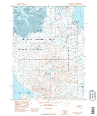
1995 · Cold Bay A-3
USGS Topo · 1:63,360
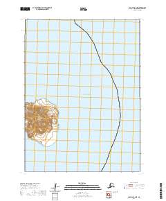
2020 · Cold Bay B-4 NE
USGS Topo · 1:25,000
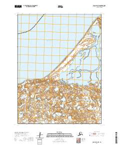
2020 · Cold Bay A-4 NE
USGS Topo · 1:25,000