2020 Map of Cold Bay B-4 NW
USGS Topo · Published 2020About this map
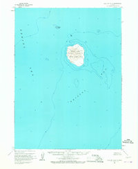
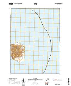
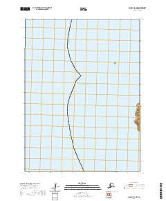
Bering Sea waters dominate this remote maritime landscape within the t55s r91w township area. The survey focuses on a largely aquatic environment where the open sea meets the isolation of the Alaskan coastline. A singular landmark, Sealion Rocks, sits isolated in the northern reaches of the quadrangle, serving as a critical navigational reference point for the maritime corridor. The map illustrates the minimal land presence in this specific sector of the Aleutians, highlighting how early 21st-century mapping continues to document these sparsely populated coastal zones where natural features like rocky outcrops remain the primary terrestrial markers.
Find a feature on this map
3 named features on this map. Tap any name to fly to it.
Don’t see what you’re looking for? This feature index may not catch every label — zoom into the map to look around manually.
Map Details
Editions of this 2020 Cold Bay B-4 NW Map
This is the sole edition of this map. No revisions or reprints were ever made.