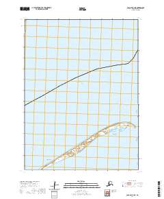
2020 Map of Cold Bay B-3 NE
USGS Topo · Published 2020About this map
Operl Island emerges from the cold waters of the Bering Sea in this topographical study of a remote coastal landscape in the Aleutians East Borough. The island's narrow, elongated form is characterized by a series of small, shifting lagoons and tidal basins along its southern edge, illustrating the dynamic nature of the Alaskan shoreline. The surrounding waters are dominated by a vast marine expanse, while the land itself remains sparse, primarily defined by its low-elevation relief and the grid of the Public Land Survey System, including t55s r89w and t55s r88w. This map offers a focused look at the physical geography and coastal contours of the region during the early twenty-first century, providing essential data for understanding the maritime environment of this northern frontier.
Find a feature on this map
4 named features on this map. Tap any name to fly to it.
Don’t see what you’re looking for? This feature index may not catch every label — zoom into the map to look around manually.
Map Details
Editions of this 2020 Cold Bay B-3 NE Map
This is the sole edition of this map. No revisions or reprints were ever made.
Other maps of this area

1943 · Fort Randall
USGS Topo · 1:250,000
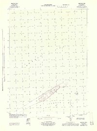
1944 · Cold Bay Sheet No. 1 of 25
USGS Topo · 1:25,000
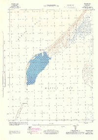
1944 · Cold Bay Sheet No. 2 of 25
USGS Topo · 1:25,000

1949 · Fort Randall
USGS Topo · 1:250,000

1950 · Fort Randall
USGS Topo · 1:250,000
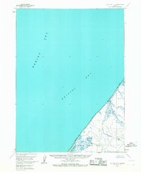
1963 · Cold Bay C-2
USGS Topo · 1:63,360
1963 · Cold Bay B-3
USGS Topo · 1:63,360
1995 · Cold Bay B-2
USGS Topo · 1:63,360
2020 · Cold Bay B-3 SE
USGS Topo · 1:25,000
2020 · Cold Bay B-2 NW
USGS Topo · 1:25,000