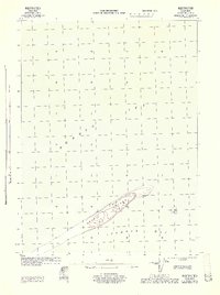
1944 Map of Cold Bay Sheet No. 1 of 25
USGS Topo · Published 1944About this map
Opperl Island lies at the threshold between the Bering Sea and the shallow reaches of Izembek Bay in this military survey conducted during World War II. Produced by the War Department and Corps of Engineers, U.S. Army, the sheet focuses on the intricate shoreline and sandbars that characterize this maritime landscape. The topography, derived from 1943 aerial photography by the 11th Mapping Squadron, reveals the shifting nature of the Aleutian coastal environment before modern development or environmental changes. This document was originally classified as Restricted, reflecting the strategic importance of the Cold Bay region during the Pacific campaign.
Find a feature on this map
3 named features on this map. Tap any name to fly to it.
Don’t see what you’re looking for? This feature index may not catch every label — zoom into the map to look around manually.
Map Details
Editions of this 1944 Cold Bay Sheet No. 1 of 25 Map
This is the sole edition of this map. No revisions or reprints were ever made.
Other maps of this area

1943 · Fort Randall
USGS Topo · 1:250,000
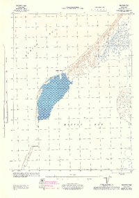
1944 · Cold Bay Sheet No. 2 of 25
USGS Topo · 1:25,000

1949 · Fort Randall
USGS Topo · 1:250,000

1950 · Fort Randall
USGS Topo · 1:250,000
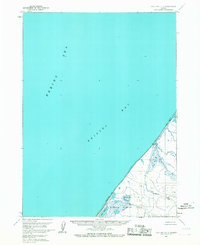
1963 · Cold Bay C-2
USGS Topo · 1:63,360
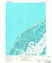
1963 · Cold Bay B-3
USGS Topo · 1:63,360
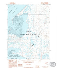
1995 · Cold Bay B-2
USGS Topo · 1:63,360
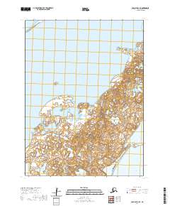
2020 · Cold Bay B-3 SE
USGS Topo · 1:25,000
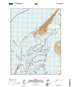
2020 · Cold Bay B-2 NW
USGS Topo · 1:25,000
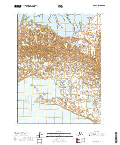
2020 · Cold Bay B-2 SW
USGS Topo · 1:25,000