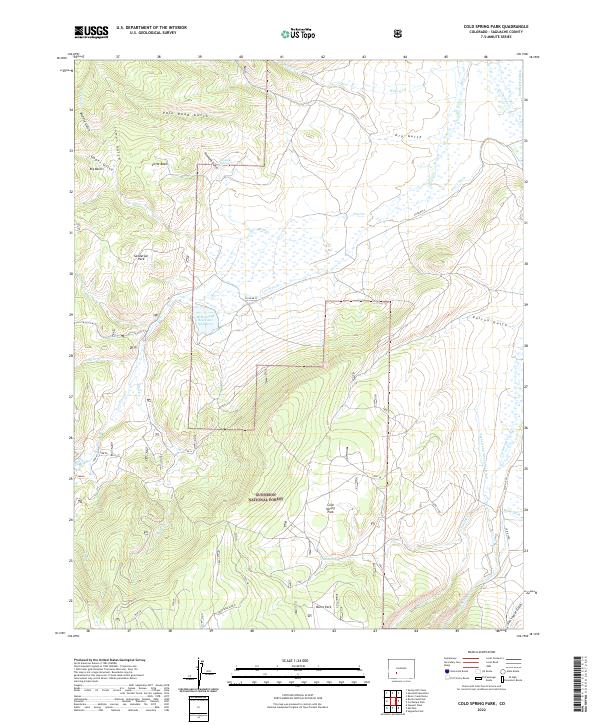
2022 Map of Cold Spring Park
USGS Topo · Published 2022About this map
Gunnison National Forest land dominates this high-altitude landscape in Saguache County, where the terrain alternates between steep gulches and expansive mountain parks. In the northern reaches, Sanderson Park and the high drainage of Simmons Gulch flow toward the lower elevations. The map reveals an intricate system of water management critical to this high-country environment, featuring long-established irrigation works such as the Tarbell and Alexander Ditch and the Smith Ford Ditch.
Find a feature on this map
37 named features on this map. Tap any name to fly to it.
Don’t see what you’re looking for? This feature index may not catch every label — zoom into the map to look around manually.
Map Details
Editions of this 2022 Cold Spring Park Map
This is the sole edition of this map. No revisions or reprints were ever made.
Other maps of this area

1956 · Montrose
USGS Topo · 1:250,000

1959 · Montrose
USGS Topo · 1:250,000

1960 · Montrose
USGS Topo · 1:250,000

1962 · Razor Creek Dome
USGS Topo · 1:24,000
1962 · Spring Hill Creek
USGS Topo · 1:24,000
1962 · Sawtooth Mountain
USGS Topo · 1:24,000
1965 · Cold Spring Park
USGS Topo · 1:24,000
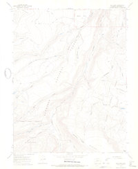
1965 · Elk Park
USGS Topo · 1:24,000
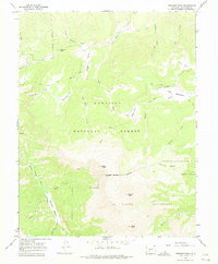
1965 · Stewart Peak
USGS Topo · 1:24,000
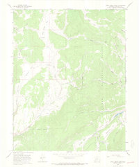
1965 · Rock Creek Park
USGS Topo · 1:24,000