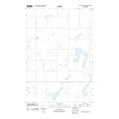
2011 Map of Coldwater Lake SW
USGS Topo · Published 2011About this map
Hoffnungs German Cemetery and Friedens Congregational Cemetery are the primary cultural landmarks in this rural North Dakota landscape, reflecting the heritage of German-speaking settlers in the region. The area is defined by a grid of agricultural section roads, including 90th St SE and 60th Ave SE, which slice through a terrain dotted with numerous small prairie potholes and ephemeral water bodies. The presence of Nitschke Field suggests the localized importance of general aviation or private landing strips in this isolated farm country. This 2011 survey by the U.S. Geological Survey captures the sparse settlement patterns and the enduring physical markers of the community’s ancestral history during the early 21st century.
Find a feature on this map
18 named features on this map. Tap any name to fly to it.
Don’t see what you’re looking for? This feature index may not catch every label — zoom into the map to look around manually.
Map Details
Editions of this 2011 Coldwater Lake SW Map
This is the sole edition of this map. No revisions or reprints were ever made.
Other maps of this area

1953 · Jamestown
USGS Topo · 1:250,000

1954 · Aberdeen
USGS Topo · 1:250,000

1956 · Aberdeen
USGS Topo · 1:250,000

1956 · Jamestown
USGS Topo · 1:250,000

1968 · Long Lake NW
USGS Topo · 1:24,000

1968 · Long Lake NE
USGS Topo · 1:24,000

1978 · Schumacher Lake NE
USGS Topo · 1:24,000

1982 · Coldwater Lake NW
USGS Topo · 1:24,000

1982 · Coldwater Lake NE
USGS Topo · 1:24,000

1982 · Ashley East
USGS Topo · 1:24,000